For navigation during your self-guided bike tour in Belgium you can use maps or a GPS (Global Position System) device, or both. When you book a tour through one of the bike tour companies they will provide you with daily routes. Cycling self-supported means that you must organise this yourself.
Cycling routes in Belgium

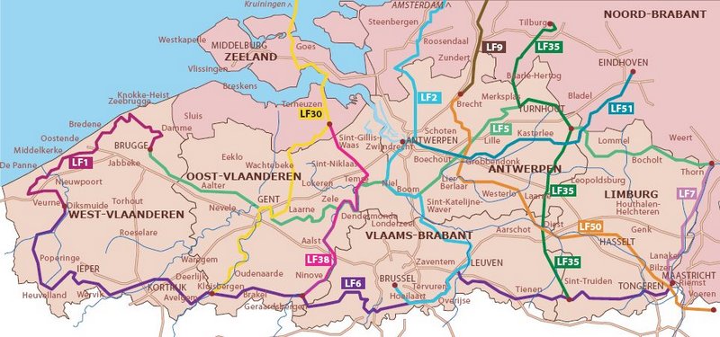
In Belgium there are thousands of signposted scenic routes for cyclists, of which you can also buy maps. There are circular daytrips, multiple day circles, and multiple day long distance LF routes, signposted in both directions). Some of the LF routes are over 200 km/125 mi long in total but you can start at any point in the middle, and connect to other routes if you have to.
You don't need to read even a word in Flemish to create your own cycle route with the ‘Knooppunten’ system. ‘Knooppunten’ [nodes or marked interchange points] are numbers that you can find along the road, and on the map. Just follow the signs from one ‘knooppunt’ to another. You can make the route as long or short as you like, by following the numbers that you have chosen. This system is implemented in all the provinces of Flanders and signposted in both directions.
-
Also check traffic signs and road signs in Belgium.
Belgian cycling maps

-
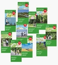
Detailed maps only cover small areas and if you are doing a longer tour you will find yourself having to buy a lot of them, which is rather expensive and also quite heavy. A good compromise in this case is to buy a road atlas, tear out the necessary pages and only take those. You can also highlight the route (and alternative routes) with a marker pen. For both options you can carry the map sheets in a map-holder or a transparent handlebar bag cover, which is much easier than dealing with a folded map.
-
Use route or cue sheets (with turning point instructions) only in addition to maps; without a map you can easily get lost or disorientated at some point and a good map provides you with far more references than a route itinerary.
GPS

The ‘pros & cons’ in using GPS during your cycling tour.
PROS
-
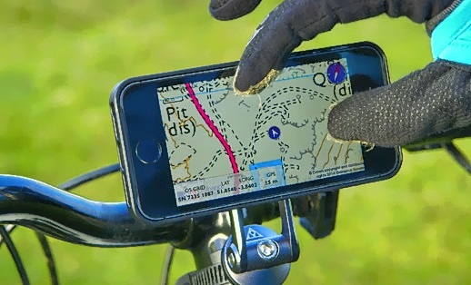
GPS shows you where you are at all times, with a zoom-in on the screen map;
-
The route can be pre-programmed, and the GPS device will do the navigation for you;
-
GPS gives you an accurate calculation of your speed, distance travelled etc.;
-
You can add your own ‘way marks’ and points of interest to the programmed route;
-
You can record your tour data of routes and distances for later presentation and analysis;
CONS
-
Navigating with a paper map is mentally challenging - using GPS takes all the fun out of it;
-
Route planning is a lot easier on a paper map than on a GPS because of the small screen;
-
For a single tour a GPS (plus electronic map) device is more expensive than a set of paper maps;
-
Maps don’t break and run out of batteries.
There are some GPS functions that are not yet fully evaluated to support cycling. Take this into account when you intend to purchase a GPS device.
- Not all electronic maps show cycle paths and lanes;
- Not all GPS devices are waterproof;
- Not all electronic maps are routable for cyclists (following the roads like in a car system).

